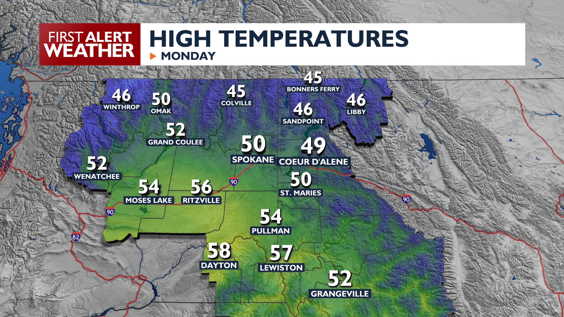
Expect a busy week of weather as more storm systems move through the Inland Northwest.
Monday features light rain in the morning, becoming more widespread and heavier late Monday afternoon and Monday evening as a front moves inland. Most areas can expect a tenth of an inch or two of rainfall with heavier rain in the Cascades. Saturated soils could lead to rock and mud slides around the Cascades later this week.
Another round of rain arrives on Tuesday before we get a break for a couple of days from the wet weather. Temperatures will get warm again for Wednesday and Thursday, reaching the upper 50s and low 60s.
Another storm system arrives Friday and through the weekend and will bring a little more impact. This system will bring more rain, gusty winds, and a return to seasonal cooler temperatures. Rain will transition to snow in the mountains heading into the weekend with this system, so keep an eye out for travel disruptions as we update the forecast through the week.
COPYRIGHT 2026 BY KXLY. ALL RIGHTS RESERVED. THIS MATERIAL MAY NOT BE PUBLISHED, BROADCAST, REWRITTEN OR REDISTRIBUTED.