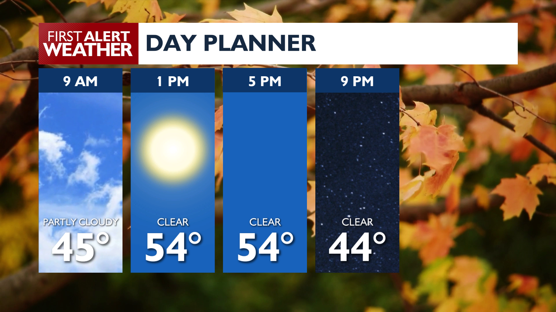
Rain clears out this morning, making way for a breezy Friday, with a Wind Advisory for parts of the region and cooler temperatures sticking around through next week.
Showers will linger into the mid-morning around North Idaho along with cloud cover, but almost everyone should get some sunshine this afternoon.
A Wind Advisory is in effect for the Okanogan Valley and Western Columbia Basin where gusts could reach 40 mph, with isolated gusts near 50 mph on the Waterville Plateau. These winds may cause blowing dust and isolated tree damage through Friday afternoon.
Tonight, temperatures will drop toward freezing, with many areas ending up in the 20s and 30s on Saturday morning, including the Spokane area.
Cooler air settles in for the weekend and into next week with highs in the 40s and 50s and lows in the 20s and 30s. Expect partly to mostly cloudy skies with low chances of precipitation through Sunday.
Next week, temperatures remain cool while light rain is possible at some point early in the period.
COPYRIGHT 2026 BY KXLY. ALL RIGHTS RESERVED. THIS MATERIAL MAY NOT BE PUBLISHED, BROADCAST, REWRITTEN OR REDISTRIBUTED.