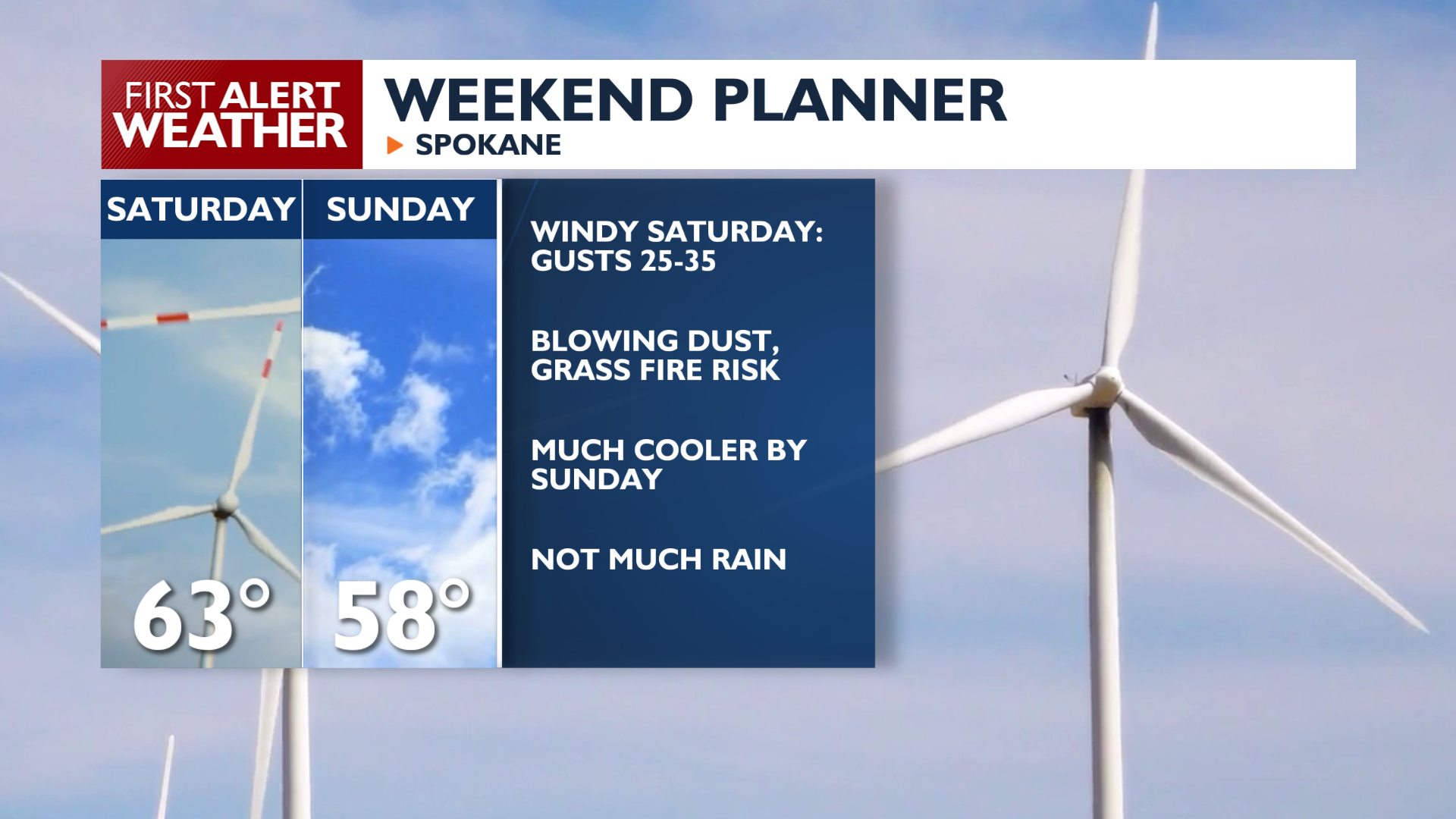
Expect a warm Friday before temperatures begin to slide back down during the weekend.
Friday will be sunny as temperatures climb into the upper 60s and lower 70s. You don’t get conditions much nicer than this in mid-October. That said, changes are coming for the weekend.
A cold front arrives Saturday morning, bringing much windier conditions. Expect sustained west winds between 15 and 25 mph with gusts reaching 35 mph by the afternoon. These winds could create patchy blowing dust and increase the risk of fire spread in dry grasses. Rain is likely in the Cascades, but this system will be dry elsewhere.
After the front passes, Sunday will be calmer and cooler, with highs in the upper 50s and low 60s.
Next week looks fairly benign with highs in the 50s and lows in the 30s above freezing. We’ll start the week cloudy and become partly sunny by midweek. Rain chances are still trending towards being unlikely over the next several days.
COPYRIGHT 2026 BY KXLY. ALL RIGHTS RESERVED. THIS MATERIAL MAY NOT BE PUBLISHED, BROADCAST, REWRITTEN OR REDISTRIBUTED.