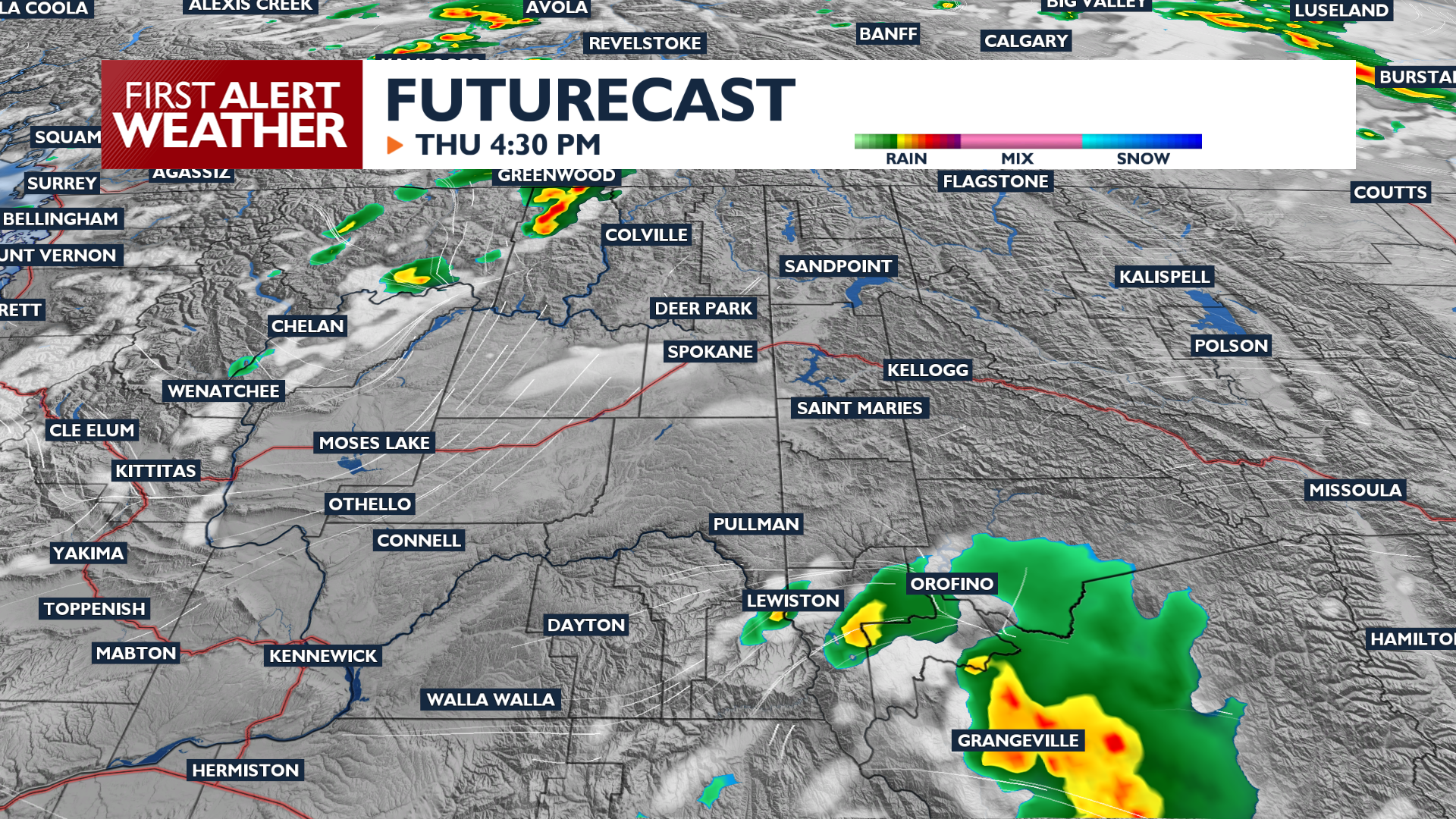
A few lightning strikes are possible today as our weather pattern changes from smoky and hot to cooler and windy.
Plan Your Day
Thursday brings another day of intense heat with high temperatures reaching 95 to 103 degrees around Eastern Washington and North Idaho. A Heat Advisory is in effect until 9 PM Thursday. Hazy skies from local wildfires will continue through the day, but we may see conditions be less consistently smoky.
Isolated thunderstorms are expected Thursday morning and afternoon, particularly over the Cascades and northeast Washington. Strong to potentially severe thunderstorms are possible in the Blue Mountains, Camas Prairie, and L-C Valley areas this afternoon. These storms could produce dry lightning and sudden wind gusts, increasing the risk of new fire starts. Hazy skies from wildfire smoke may persist throughout Thursday.
What We’re Tracking
Conditions turn windier on Friday and Saturday, leading to critical fire weather. A dry cold front will cross the region, bringing southwest wind gusts between 25 and 45 mph on Saturday. While temperatures cool into the upper 80s and lower 90s by Saturday, very low humidity levels will make any existing or new fires difficult to control. A Fire Weather Watch is in effect for much of the area through Saturday evening. Everyone must pay attention to fire conditions to start the weekend.
Extended Forecast
COPYRIGHT 2026 BY KXLY. ALL RIGHTS RESERVED. THIS MATERIAL MAY NOT BE PUBLISHED, BROADCAST, REWRITTEN OR REDISTRIBUTED.