Friday is the final warm and dry day before a shift to a more active pattern brings rain showers, thunderstorms, and the potential return of mountain snow in the days ahead.
Plan Your Friday
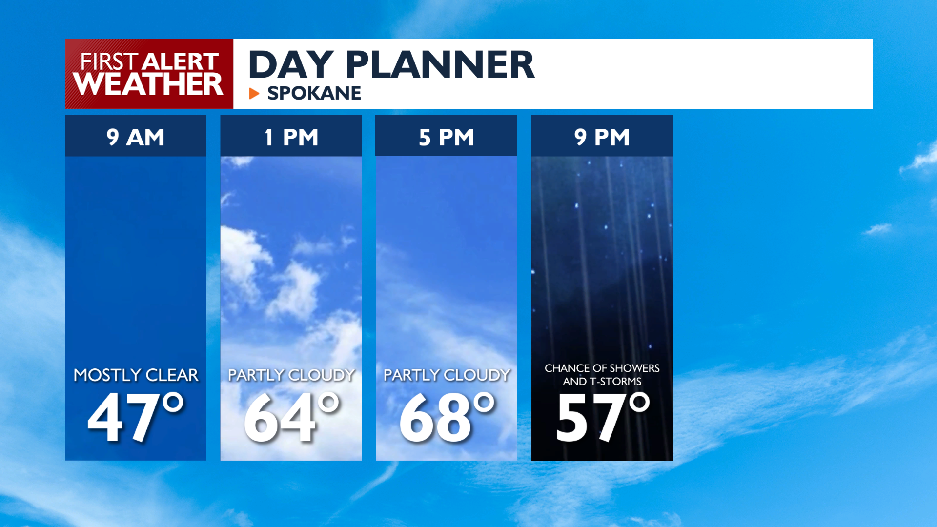
Friday brings mild temperatures with highs reaching the upper 60s to mid-70s. Expect increasing clouds throughout the afternoon with breezy northeast winds gusting between 10 and 20 mph. While most areas remain dry during the daylight hours, rain chances increase Friday night as a new weather system approaches the Inland Northwest. There will be an increasing chance of thunderstorms around the Blue Mountains and Cascades in the late afternoon. Any showers or storms in the area could reach Spokane and Coeur d’Alene after 9 p.m.
What We’re Tracking
Showers and isolated thunderstorms are possible Saturday and Sunday, with rainfall amounts of a quarter to half an inch in southeast Washington and North Central Idaho. It won’t be raining all the time, but you’ll want to keep tabs on what’s happening with the radar before doing any outdoor activities this weekend.
Another system arrives Tuesday Night into Wednesday, bringing gusty winds up to 40 mph and much cooler temperatures in the 40s and 50s. This system will be cold enough to drop a decent amount of snow over our mountain passes.
After all of that sunny weather this week, next week looks like it will be the complete opposite.
Extended Forecast
COPYRIGHT 2026 BY KXLY. ALL RIGHTS RESERVED. THIS MATERIAL MAY NOT BE PUBLISHED, BROADCAST, REWRITTEN OR REDISTRIBUTED.