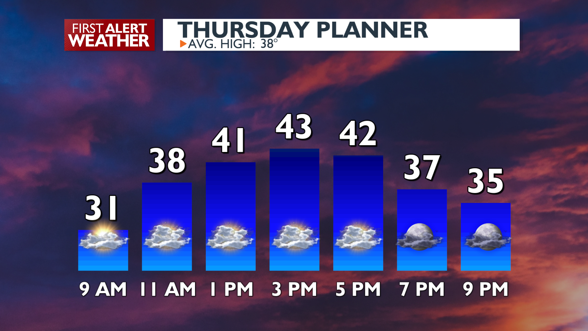
Even with less sunshine than the last two days, your Thursday is looking pretty nice again around the Inland Northwest.
Plan Your Thursday
Areas of patchy fog will quickly dissipate in the late morning while high cirrus clouds partially obscure the sunshine. It will be slightly less sunny and a degree or three cooler than Wednesday. We’ll see some partial clearing of those cirrus clouds this evening that will allow temperatures to cool quickly back towards freezing tonight.
What We’re Tracking
An active weather pattern begins Friday night and lasts into the middle of next week. We’ll see mountain snow and valley rain Friday night and Saturday, followed by a drier day Sunday. Passes will see wintry driving conditions over the weekend, especially Saturday morning. Skiers and boarders will get a little fresh snow to play with.
More cold systems drop into our area for early next week, bringing more mountain snow and a chance of night and morning valley snow as well.
Extended Forecast
COPYRIGHT 2025 BY KXLY. ALL RIGHTS RESERVED. THIS MATERIAL MAY NOT BE PUBLISHED, BROADCAST, REWRITTEN OR REDISTRIBUTED.