Lingering valley rain and mountain snow showers will taper off through the day, setting us up for some more pleasant weather later this week.
Plan Your Monday
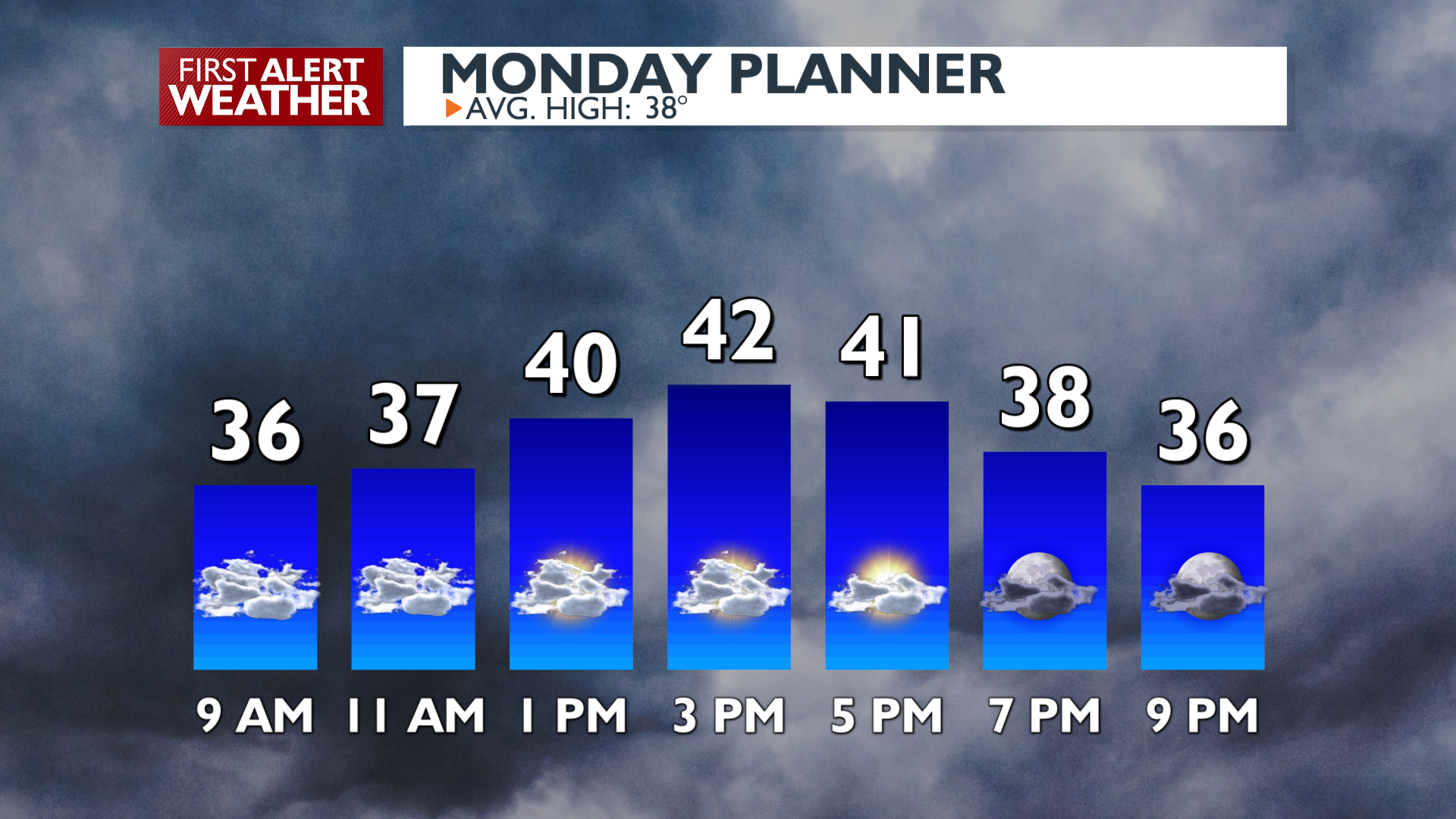
After rain and mountain snow early this morning, only a small chance for a sprinkle or flurry will continue until late evening. Most of us are already finished with wet weather for a few days.
Temperatures will rise to the low 40s under mostly cloudy skies. Clearing tonight will drop temperatures down to the upper 20s and low 30s for the first time since before the weekend.
What We’re Tracking
Dry, mild, and sunny weather is on tap for us midweek. Expect a 50/50 mix of sun and clouds and highs in the 40s each day. Cloudiness returns on Friday ahead of a pattern change for the weekend and next week. Wetter, colder conditions will bring a chance of rain/snow mix on Saturday and Sunday. We’re still working out the details, so stick with us this week for updates if you have plans this weekend. At the very least, some desperately-needed mountain snow is coming soon.
Extended Forecast
COPYRIGHT 2025 BY KXLY. ALL RIGHTS RESERVED. THIS MATERIAL MAY NOT BE PUBLISHED, BROADCAST, REWRITTEN OR REDISTRIBUTED.