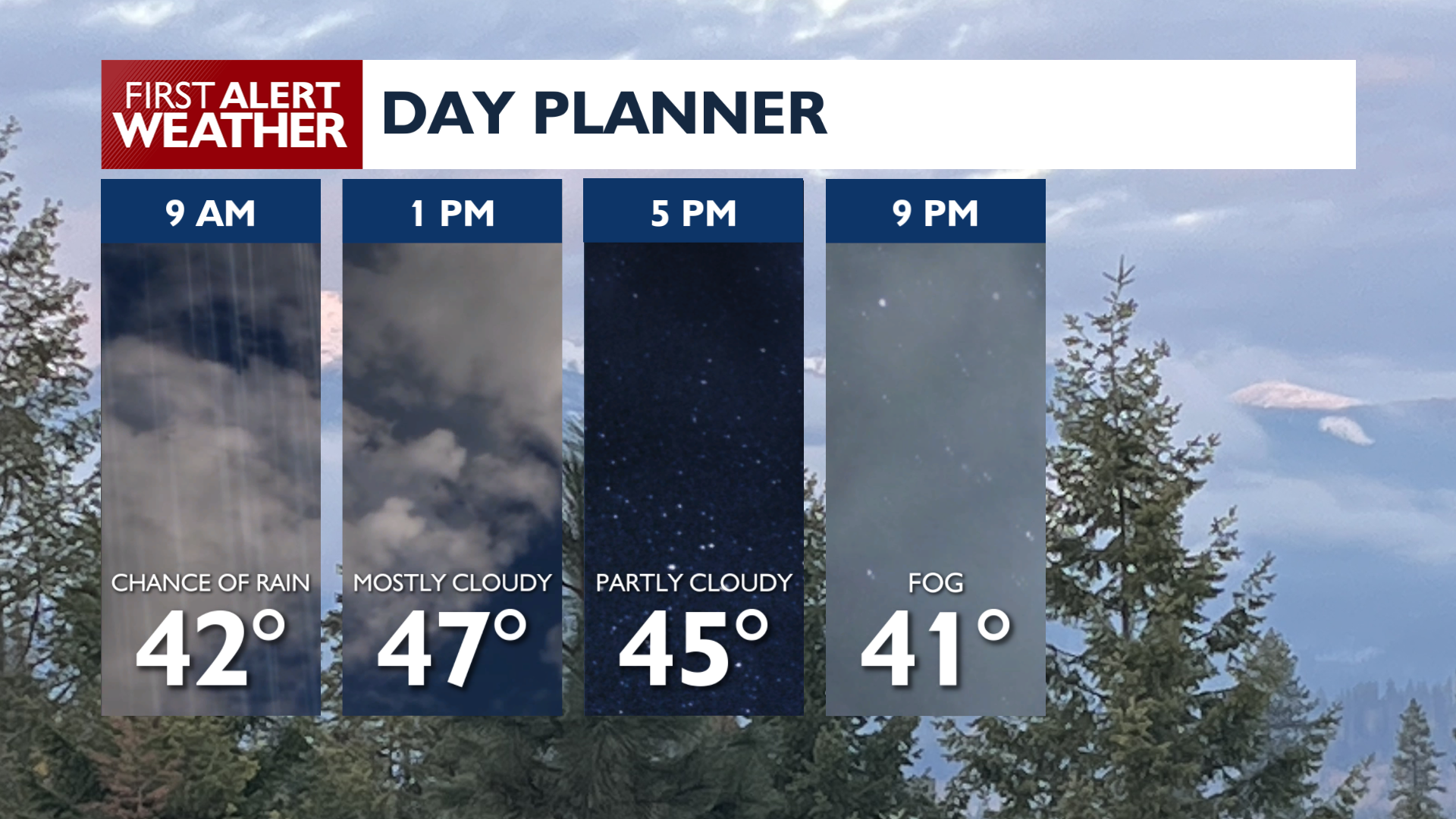
Starting today, a series of weather system will bring clouds, occasional rain, and gradually warmer weather into the weekend and next week.
Expect light to moderate rain across the region on Thursday morning. Rain will pass through the area quickly, clearing Eastern Washington by noon and leaving North Idaho by mid-afternoon. Snow levels will dip to 4500 feet, though accumulations are going to be negligible. Afternoon high temperatures on Thursday will stay in the 40s and low 50s with a light to moderate breeze behind the rain.
Friday will start out foggy in many areas followed by partly to mostly cloudy skies. Another system arrives Friday Night, bringing a chance of rain Friday night into early Saturday morning and more breezy weather. Winds will strengthen with gusts up to 30 mph by Sunday. Rain is likely for the Cascades, but unlikely this weekend everywhere else. Temperatures will rise through the weekend, with near-record highs expected for Sunday.
COPYRIGHT 2026 BY KXLY. ALL RIGHTS RESERVED. THIS MATERIAL MAY NOT BE PUBLISHED, BROADCAST, REWRITTEN OR REDISTRIBUTED.