There’s one more round of wet weather headed our way before a long-term drying trend begins around the Inland Northwest.
Plan Your Tuesday
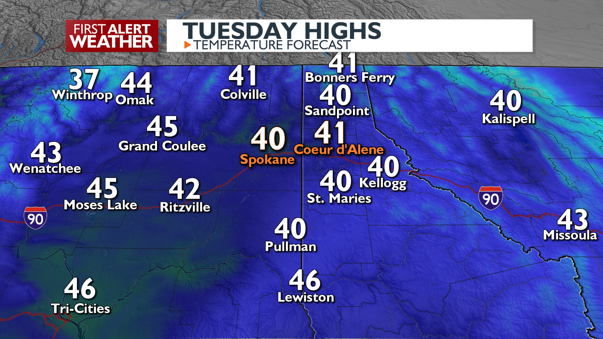
The snowy and wet weather was out of reach for Spokane and Coeur d’Alene this morning, but that won’t be the case for the entire day. A few showers will slide north enough to bring more wet conditions this afternoon and evening. With highs around 40 today, any afternoon precipitation will fall as rain with a slight chance of a winter mix after sunset. Any snow that fell this morning will be mostly melted by this evening. Skies begin to dry out tonight.
What We’re Tracking
A mostly dry pattern will set up over the region, but it will be a windy pattern as well for the rest of the week. Winds will be consistently up around 20 mph Wednesday through Friday with gusts of 30 to 45 mph. Thursday will likely be the windiest day. Mountain snow will occasionally appear around the Canada border with a few flurries in places like Bonners Ferry and Metaline Falls. Winds relax, and sunshine prevails heading into the weekend.
Extended Forecast
COPYRIGHT 2026 BY KXLY. ALL RIGHTS RESERVED. THIS MATERIAL MAY NOT BE PUBLISHED, BROADCAST, REWRITTEN OR REDISTRIBUTED.