A Dense Fog Advisory remains in effect as visibility will be limited for your morning drive. The foggy, gray weather pattern will stick around for another day.
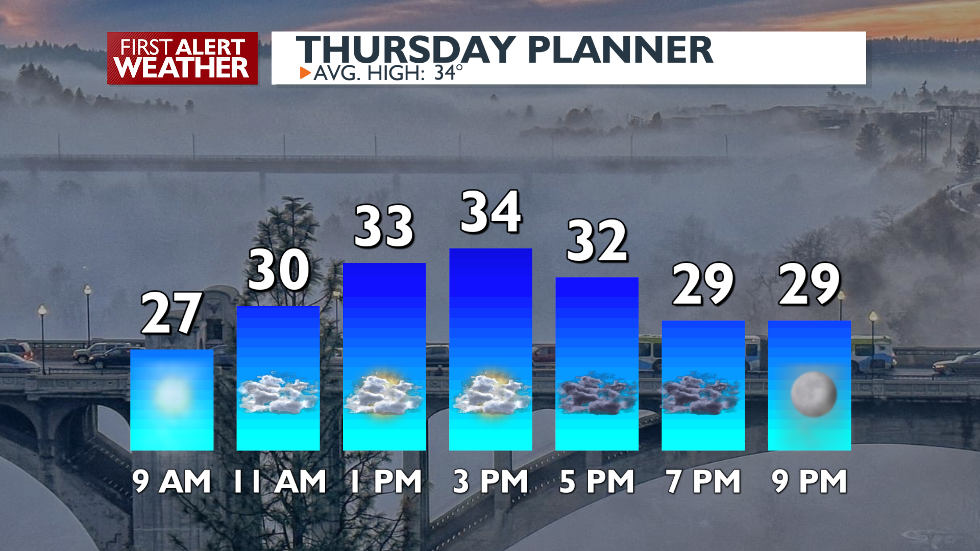
Plan Your Thursday
This morning, expect widespread low clouds and fog to impact the lowlands, with visibility down to 1/4 mile to 1/2 mile. A Dense Fog Advisory is in effect for Spokane, Coeur d’Alene, Northeast Washington, and the northern Idaho Panhandle. Fog development may expand into parts of the Columbia Basin this morning.
It’s unlikely fog will disperse in areas that have been seeing it since Wednesday morning. The fog will lift to a low deck of overcast clouds briefly in the afternoon. Temperatures will struggle to reach the mid to upper 30s. Places that get more sunshine like Pullman, Moscow, and the Tri-Cities will hit the 40s.
Temperatures above 3000 feet elevation are mild too, reaching the 40s and 50s up in the mountains, where you’ll find bluebird ski conditions above the inversions.
What We’re Tracking
A dry and stagnant pattern, driven by strong high pressure, will continue through the remainder of this period and into next week. This pattern supports the persistence of low clouds and fog in the Inland Northwest. These strong inversions also trap pollutants and lead to degraded air quality. Unsettled conditions are expected to return next week with a better chance for active/disturbed weather.
Extended Forecast
COPYRIGHT 2025 BY KXLY. ALL RIGHTS RESERVED. THIS MATERIAL MAY NOT BE PUBLISHED, BROADCAST, REWRITTEN OR REDISTRIBUTED.