It will be a quiet Tuesday, but rain and snow will appear again this evening ahead of a more active pattern on Christmas Eve and Christmas Day.
Plan your Tuesday
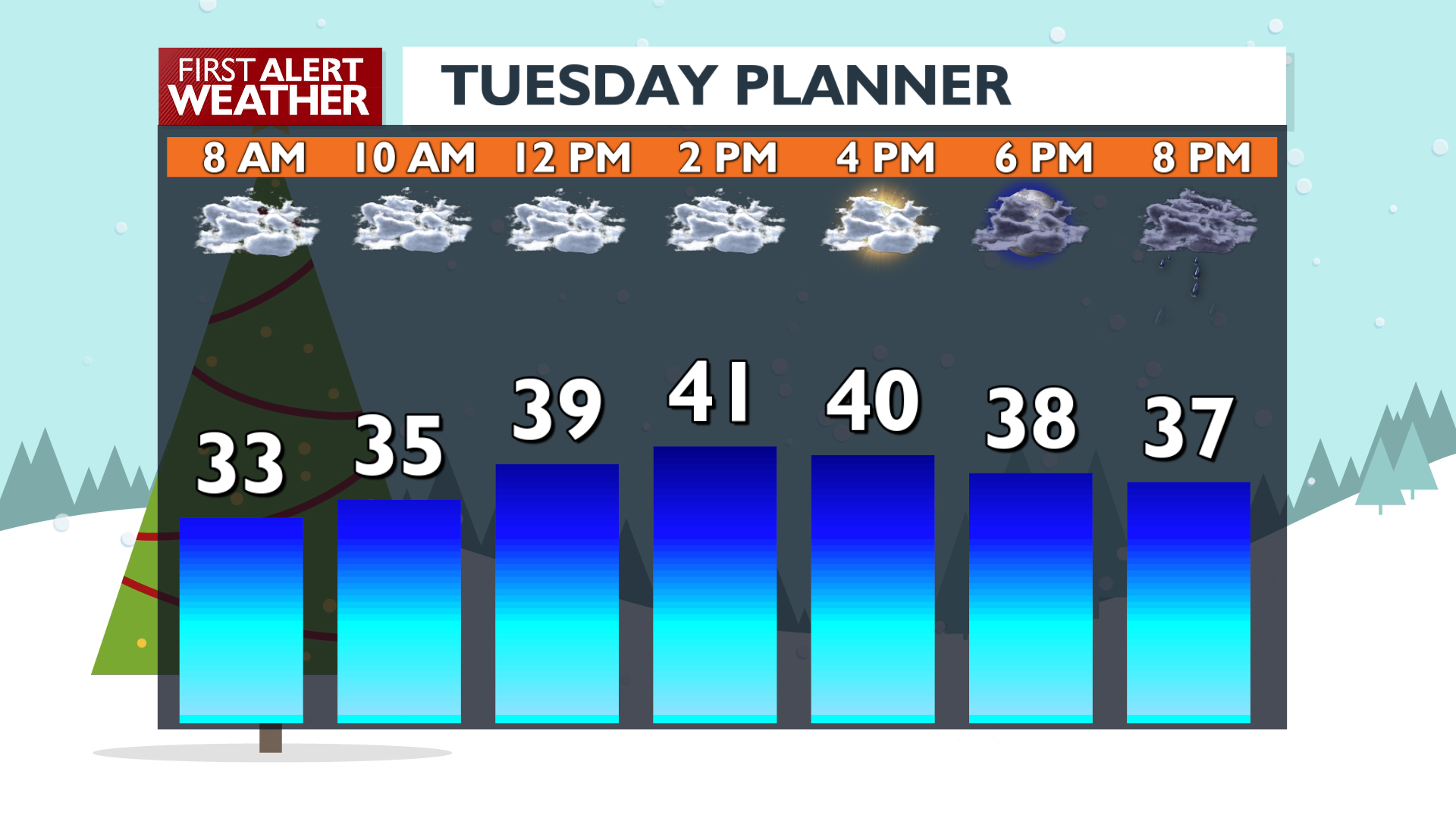
Holiday travel should be easy-going today. Temperatures will remain in the upper 30s to low 40s under mostly cloudy skies. We’ll see a band of wet weather roll in this evening. The vast majority will see this arrive as rain, but a few northern valleys, especially from Wenatchee northward to the border in Okanogan County, will see a little snow out of this and could wake up to some slick/slushy roads tomorrow morning. Winter Weather Advisories are in place tonight for the Methow Valley and Okanogan Highlands.
What We’re Tracking
Temperatures continue to warm on Wednesday. We’ll see morning rain followed by a long dry spell in the afternoon and evening. Winds will gust into the 30 mph range as warm air settles in. Temperatures will reach the middle and upper 40s. A few spots in the Columbia Basin could hit 50 degrees.
Christmas Day will feature more bands of rain and mountain snow. Snow totals for the next few days over the mountain passes are not exceptional, so last-minute travel across the region should be fairly smooth. A White Christmas isn’t happening for most of us this year. For Spokane, this would be the third year in a row without snow.
Temperatures start cooling Thursday night through Saturday, which should flip rain to at least a rain-snow mix on Friday for what moisture remains in the area.
Extended Forecast
COPYRIGHT 2025 BY KXLY. ALL RIGHTS RESERVED. THIS MATERIAL MAY NOT BE PUBLISHED, BROADCAST, REWRITTEN OR REDISTRIBUTED.