Another round of wintry mix is coming today which will eventually transition to rain in the valleys. That’s followed by strong, potentially damaging winds impacting Central Washington tonight.
Plan Your Friday
Precipitation will begin as snow flurries this morning, with heavier precipitation reaching Eastern Washington and North Idaho late morning into the afternoon. Snow levels will start out at the valley floors north of Spokane, which should allow places like Colville, Newport, Sandpoint, and Kellogg to stack a little snow before it warms up later in the day. Elsewhere, snow levels will quickly climb. We could even see rain mixing in at Stevens Pass and Lookout Pass, both of which will see some heavy snow over the next three days.
What We’re Tracking
Strong winds develop Friday evening, with a cold front passage leading to serious, possibly damaging winds in portions of Central Washington. A High Wind Warning is up for Grant and Douglas counties tonight. Bring in loose objects today and prepare for possible power disruptions with gusts up to 60 mph overnight.
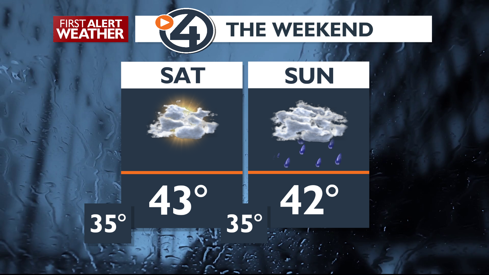
Saturday look pretty decent for any plans outside this weekend, but snow will still be falling in the mountains.
Following this, several atmospheric rivers are aimed at the region starting Sunday, bringing wet and warm weather through the middle of next week. Significant rainfall amounts are possible early next week, especially in higher elevations, which will cause substantial rises on rivers and streams and the risk of rock slides along mountain roads.
Extended Forecast
COPYRIGHT 2025 BY KXLY. ALL RIGHTS RESERVED. THIS MATERIAL MAY NOT BE PUBLISHED, BROADCAST, REWRITTEN OR REDISTRIBUTED.
