Light snow will dance across the Inland Northwest today, dropping light accumulations that will slow you down on Tuesday morning.
Plan your Monday
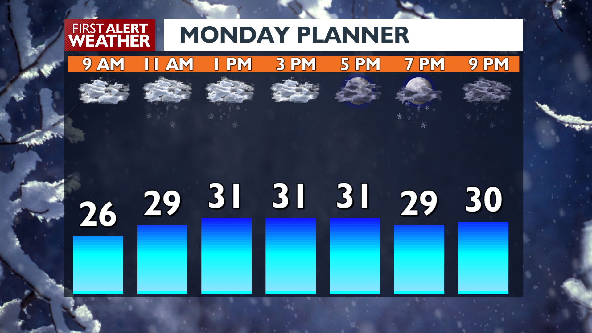
Light snow will arrive in the late morning to early afternoon and bring flurries or a light dusting. Heavier snow will show up tonight around dinnertime in Northeast Washington and after 7 p.m. in Spokane and Coeur d’Alene. Scattered snow continues into early Tuesday. Be ready for road conditions to change if you’re traveling during the evening.
What We’re Tracking
For the start of Tuesday, most of us will wake up to an inch or less in Eastern Washington, while across the state line in North Idaho, 1-4″ is possible depending on your local geography.
Tuesday night and Wednesday look drier with a favorable setup for fog. By the end of the week, an active pattern establishes itself as milder air arrives, meaning we’ll see a winter mix Wednesday night into Thursday morning, followed by rain Thursday afternoon into the weekend. Temperatures will be much warmer by the end of this week than at the start. Strong winds are possible with this transition to warmer temperatures on Friday.
Extended Forecast
COPYRIGHT 2025 BY KXLY. ALL RIGHTS RESERVED. THIS MATERIAL MAY NOT BE PUBLISHED, BROADCAST, REWRITTEN OR REDISTRIBUTED.
