While some of us are waking up to cloud cover this morning, most of us should break out into sunshine later in the day as we see calm and pleasant weather around the region.
Plan your Wednesday
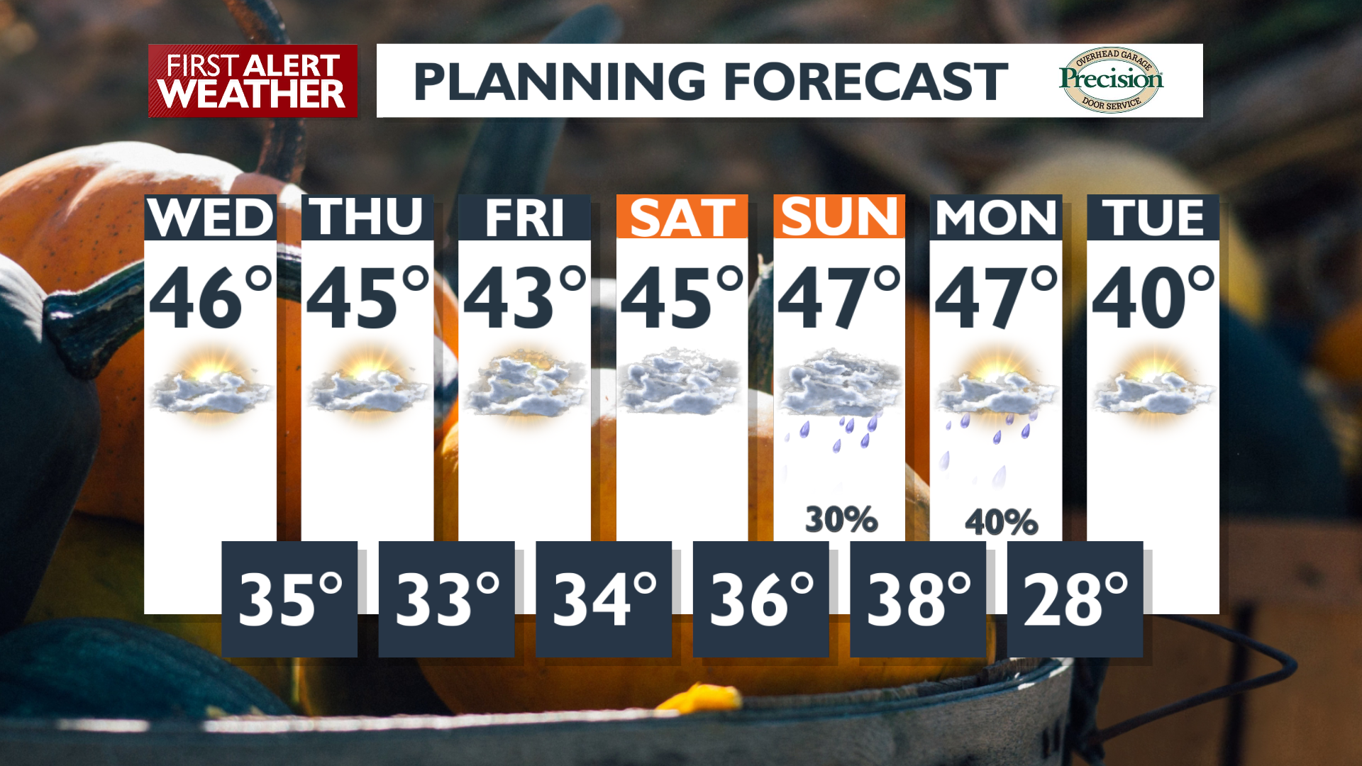
If you wake up to cloud cover, you’ll be mild and above freezing, while areas with clear skies will have to scrape ice off windshields before hitting the road. Sunshine will increase throughout the day with highs above average in the middle and upper 40s.
What We’re Tracking
This weekend, a much more active pattern develops with clouds, valley rain and mountain snow. Most of the active weather will happen on Sunday and Monday. Temperatures will drop significantly early next week behind the weekend storm system. This means that the next storm could be far more impactful on holiday travel in the cooler environment. We’re keeping an eye on next Thursday (Thanksgiving) through Saturday for this potentially impactful weather.
Extended Forecast
COPYRIGHT 2025 BY KXLY. ALL RIGHTS RESERVED. THIS MATERIAL MAY NOT BE PUBLISHED, BROADCAST, REWRITTEN OR REDISTRIBUTED.
