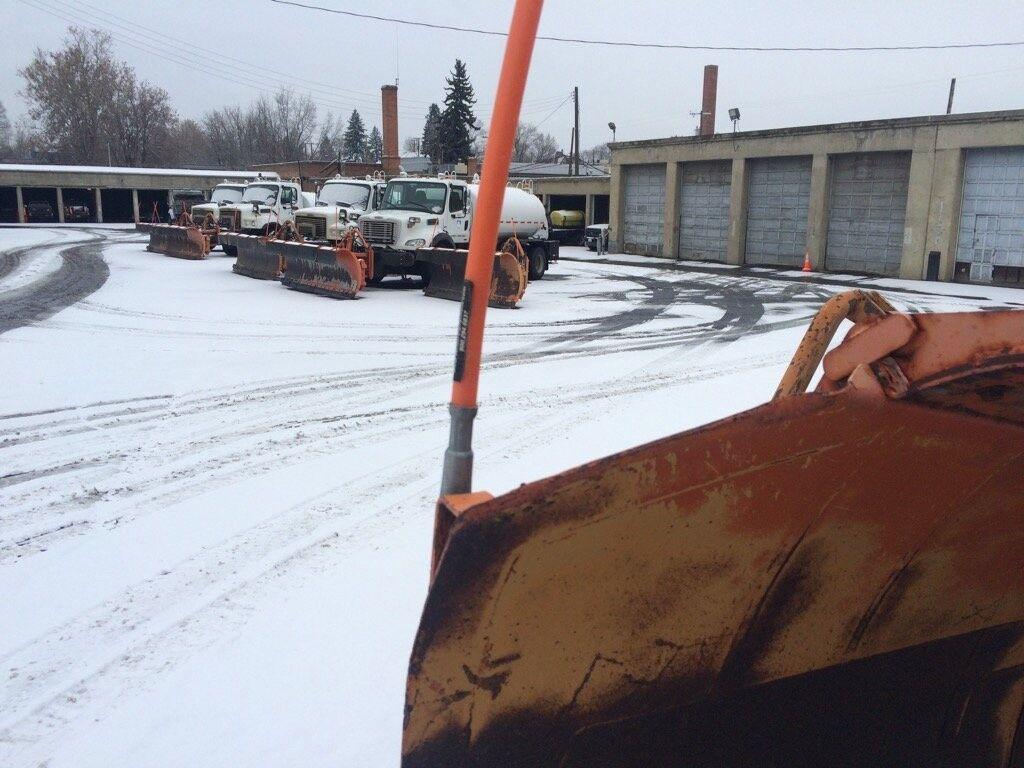
SPOKANE, Wash.– There is scientific proof that what you’re probably feeling is correct: this winter has been the easiest to deal with in a long time.
Scientists at Purdue University in Indiana have developed a system called the Accumulated Winter Season Severity Index (AWSSI). Temperatures below 32 degrees, measurable snowfall, and snow depth each day are assigned points for weather stations around the country. Those points accumulate as the winter progresses, and the “score” can be compared to other years in the climate record and other cities.
In Spokane, this winter is the mildest in the past 10 years and one of the mildest in the 75-year record used by the AWSSI. Record or near-record mild conditions are also happening in Northport in Washington, Lewiston in Idaho, and Heron, Kalispell, and Missoula in Montana.
The AWSSI can also project the rest of this winter using the most similar past years. Most of these projections for Spokane show what you would expect — continued mild conditions for the rest of winter.
However, some of the most similar years to this winter in Spokane, 1989-90, 1993-94, and 2018-19 finish up the season differently.
In each of these years, between 40% and 60% of the snow for the entire season came in February or later. The average is around 25%. The coldest temperature of the season also occurred in February during these winters.
Why should we care? Look at what’s coming up for February, according to forecasts from the Climate Prediction Center. For the next three to four weeks, there’s a good chance for cold and wet weather in the Pacific Northwest. Many long-range climate models have hinted at a pattern change that would bring us a busy end to winter over the past month. As February approaches, it looks more and more likely that at least some of those predictions will pan out.
Explore more on the Accumulated Winter Season Severity Index here.
COPYRIGHT 2025 BY KXLY. ALL RIGHTS RESERVED. THIS MATERIAL MAY NOT BE PUBLISHED, BROADCAST, REWRITTEN OR REDISTRIBUTED.