COEUR D’ALENE, Idaho — Hydrologists in Idaho are worried about the snowpack across the state, but the long-term forecast could change that.
Even though scientists have seen the snowpack accumulate less and less over the last five decades across the Inland Northwest, they are starting to see pretty encouraging trends this year when it comes to our local snowpack.
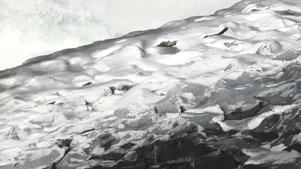
Most of North Idaho has 90% or more of its typical snowpack for this time of year, according to the Idaho Department of Water Resources. But hydrologist David Hoekema says most of the state is either seeing its snowpack stay the same or even drop slightly.
Much of the region has been drier weather recently, but the National Weather Service says next month could bring more moisture and snowpack with it.
Further south along the Snake River, there’s even more concern about the water supply for the upcoming year.
“Currently our projections are for a fair to poor water supply year at this point in time based on this index,” said Upper Snake River Reservoir operations lead Jeremy Dalling. “We’re looking for that to hopefully improve as we move to the spring.”
Snowpack percentiles have fallen by 11% across the state over the last week. That includes Kootenai County falling from an above average 71st percentile snowpack to 55th percentile.
The National Weather Service, however, is forecasting above average precipitation for North Idaho over the next two weeks.
Hydrologists are hopeful that more moisture coming to our region could help quickly establish a strong snowpack.
COPYRIGHT 2025 BY KXLY. ALL RIGHTS RESERVED. THIS MATERIAL MAY NOT BE PUBLISHED, BROADCAST, REWRITTEN OR REDISTRIBUTED.
